About Us
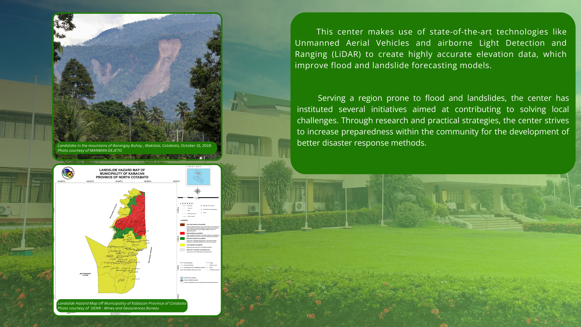
Severe natural disasters such as floods and landslides endanger life and property, particularly in densely populated areas (Feng et al., 2015). While it is impossible to totally prevent such events, significant progress can be made in reducing their severity by being better prepared (Glago, 2021; Schelfaut et al., 2011). Geohazard models, Geographic Information Systems and advanced tools are essential in forecasting and mitigating these hazards (Gacu et al., 2022; Hariyono & Kurniawan, 2022).
The University of Southern Minandanao has established the USM Center for Flood/Landslide Preparedness and Mitigation to cope with these issues. It aims to address the shortcomings of present elevation data, which is always vulnerable to inaccuracy, especially over areas like small river basins, like those found in Cotabato (Yamazaki et al., 2017).
The center will serve as a hub where training and research activities are carried out to enhance the response from USM staff, students, and the local government in terms of disaster risk management through key resources and expertise. Advanced technology is given along with training to ensure the capability to accomplish landslide and flood preparedness tasks.
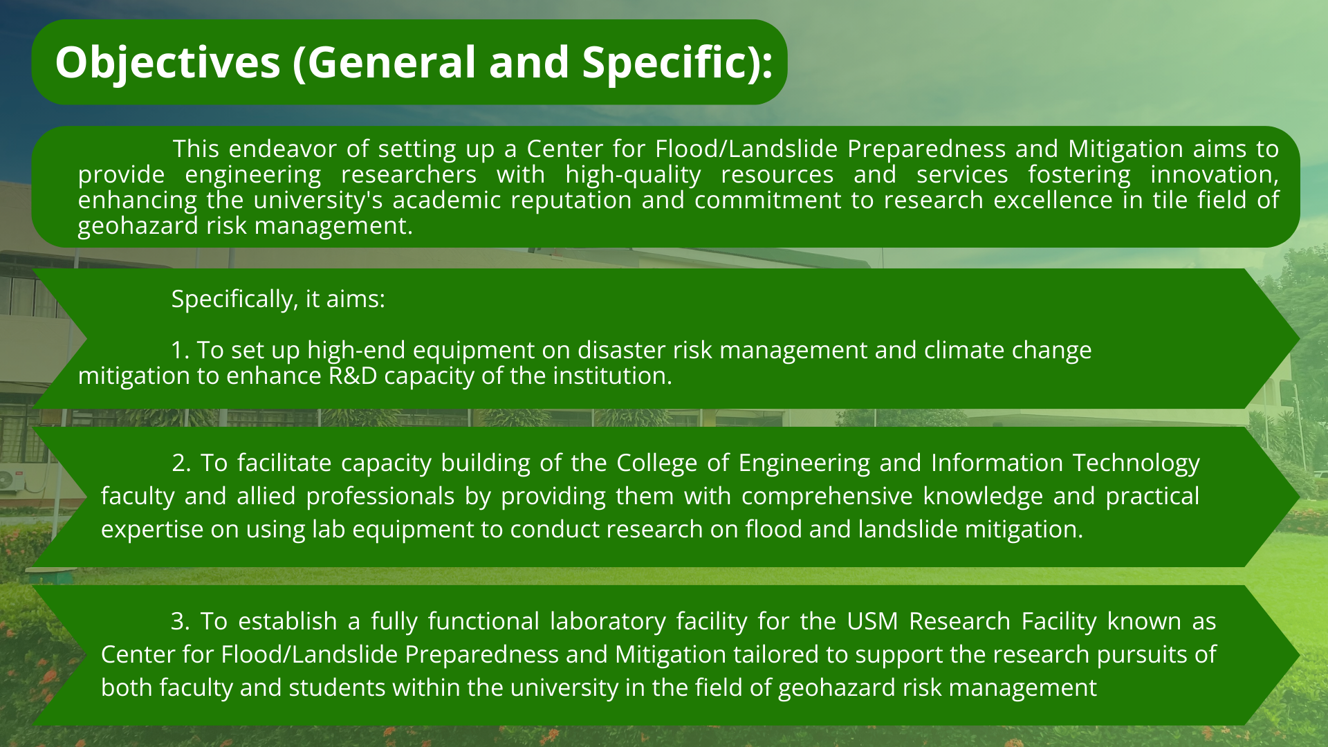
This center makes use of state-of-the-art technologies like Unmanned Aerial Vehicles and airborne Light Detection and Ranging (LiDAR) to create highly accurate elevation data, which improve flood and landslide forecasting models.
Serving a region prone to flood and landslides, the center has instituted several initiatives aimed at contributing to solving local challenges. Through research and practical strategies, the center strives to increase preparedness within the community for the development of better disaster response methods.
Objectives (General and Specific):
This endeavor of setting up a Center for Flood/Landslide Preparedness and Mitigation aims to provide engineering researchers with high-quality resources and services fostering innovation, enhancing the university’s academic reputation and commitment to research excellence in tile field of geohazard risk management.
Specifically, it aims:
- To set up high-end equipment on disaster risk management and climate change nitigation to enhance R&D capacity of the institution.
- To facilitate capacity building of the College of Engineering and Information Technology faculty and allied professionals by providing them with comprehensive knowledge and practical expertise on using lab equipment to conduct research on flood and landslide mitigation. QNB
- To establish a fully functional laboratory facility for the USM Research Facility known as Center for Flood/Landslide Preparedness and Mitigation tailored to support the research pursuits of both faculty and students within the university in the field of geohazard risk management
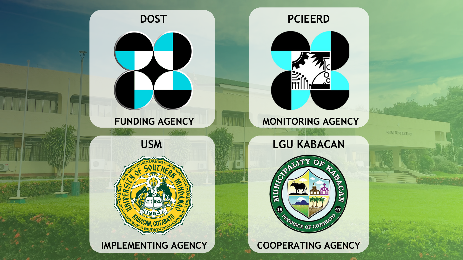
The project is funded by the Department of Science and Technology (DOST) and the Philippine Council for Industry, Energy, and Emerging Technology Research and Development (PCIEERD), which serves as the monitoring agency, while the University of Southern Mindanao (USM) acts as the implementing agency.
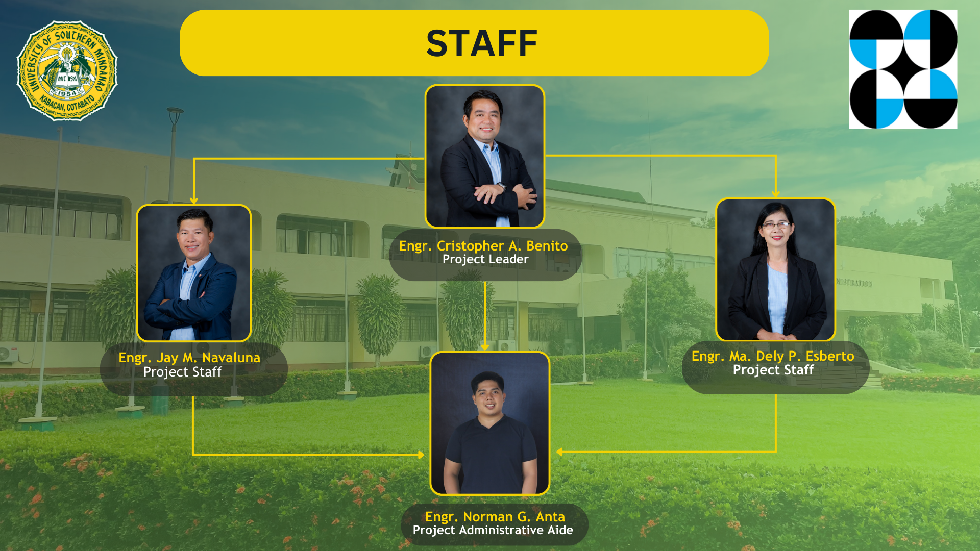
The project is led by Engr. Cristopher A. Benito, along with his project staff: Engr. Jay M. Navaluna, Engr. Ma. Dely P. Esberto, and Engr. Norman G. Anta, who serves as the Project Administrative Aide.

