
USM-SWK, Nakiisa sa Pambansang Kumperensiya sa Saliksik, Sagip, Sulong Wika at Panitikang Mindanao
October 9, 2026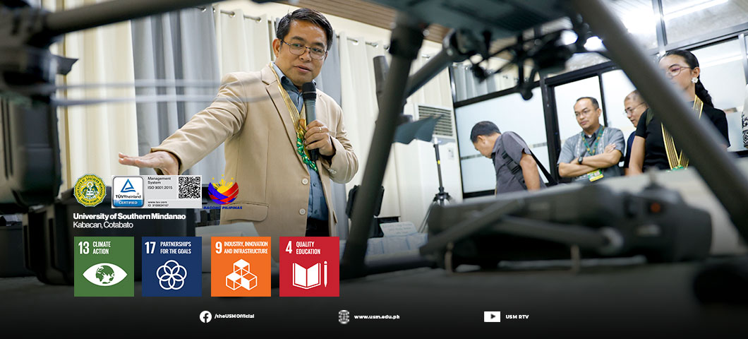
The University of Southern Mindanao (USM) has launched a ₱4.99-million research center equipped with drone-based mapping and LiDAR technology to help researchers assess flood and landslide risks and generate data for disaster preparedness and land-use planning.
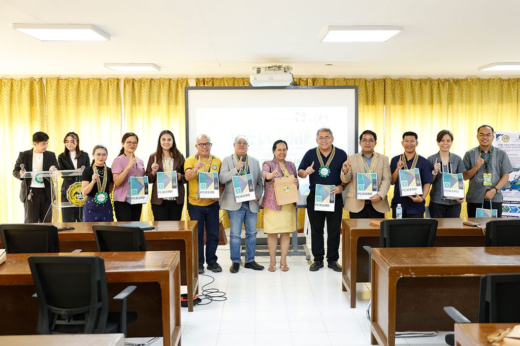
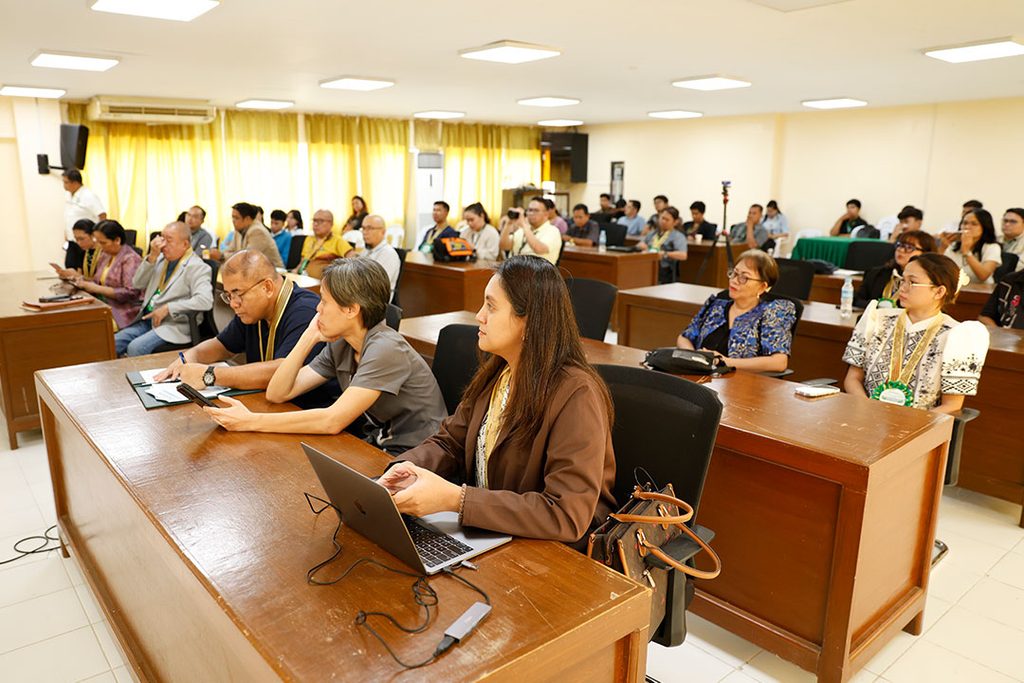
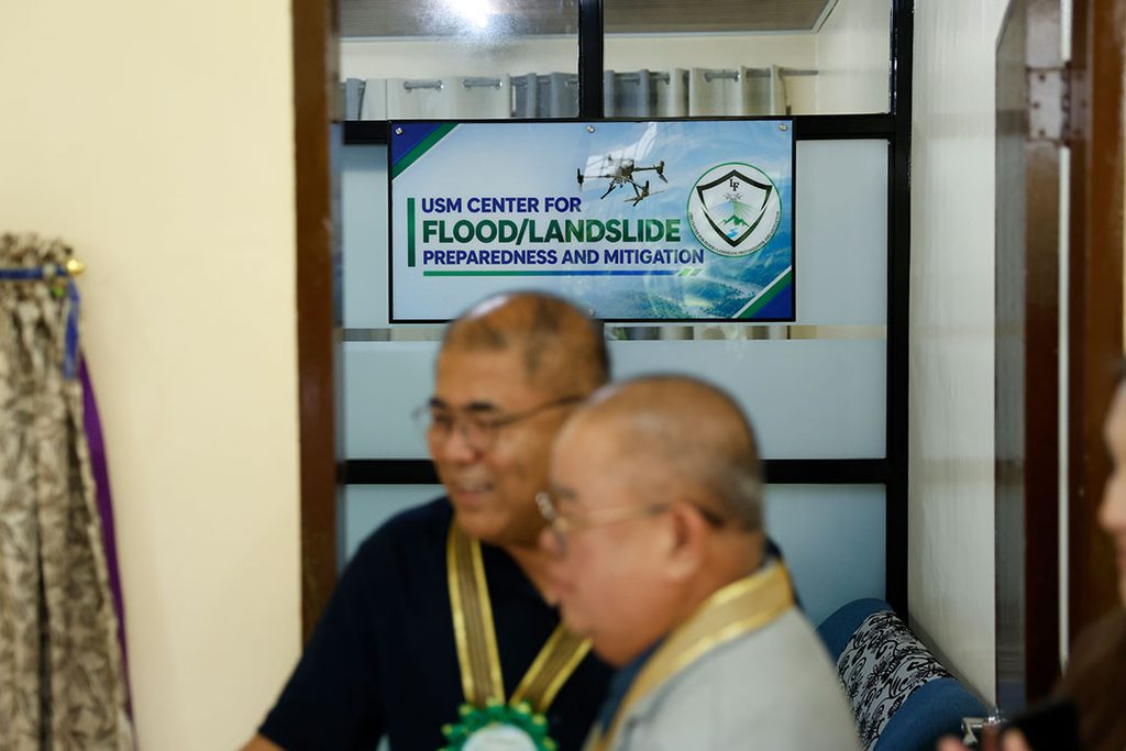
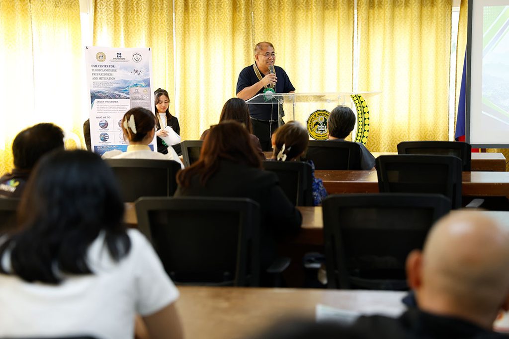
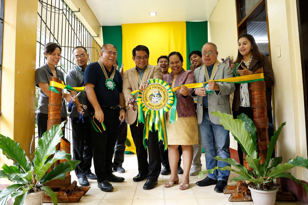
The USM Center for Flood/Landslide Preparedness and Mitigation was launched on October 8 at the University Skyroom of the Administrative Building. Based at the College of Engineering and Information Technology (CEIT), the center was established through funding from the Department of Science and Technology–Philippine Council for Industry, Energy, and Emerging Technology Research and Development (DOST-PCIEERD), which provided ₱4.99 million through its Institutional Development Program.
The facility is expected to support research on hazards affecting communities in Mindanao, including Kabacan, where flooding has caught residents and local authorities off guard. Municipal Administrator Ben C. Guzman welcomed the center as a potential research partner of the local government, saying the information it generates could help agencies prepare for and respond to disasters.
“We can generate information that other agencies can actually use,” Mr. Guzman said.
DOST XII Regional Director Engr. Sammy P. Malawan said the center gives researchers and local governments an opportunity to look beyond current hazards and prepare for risks communities may face in the coming years. He challenged them to consider what threats could emerge five, ten, or twenty years from now and what steps could be taken today to reduce their effects.
Engr. Malawan added that the value of science and innovation lies not only in the research produced but also in the decisions it improves, the communities it prepares, and the lives it helps protect.
For USM President Dr. Jonald L. Pimentel, the center’s work must reach beyond the university and respond to the actual needs of communities. He said the facility gives USM researchers, faculty members, and students a place to work with DOST and other partners on problems affecting people outside the campus.
“Ang challenge is how we make sure na yung ginagawa natin sa university ay may connection sa actual situation ng mga tao outside the campus,” Dr. Pimentel said.
He hopes the research will help local governments make informed decisions and give residents a better understanding of the risks in their areas.
“Sana may farmer, family, or local government somewhere in Mindanao na eventually masasabi na, ‘Nakatulong sa amin yung research na ginawa sa USM,’ ” he added.
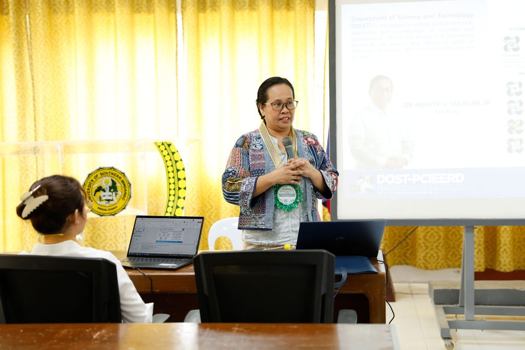
DOST-PCIEERD Deputy Executive Director Engr. Niñaliza H. Escorial said the project’s facilities would help bring research closer to the communities it is intended to serve. Meanwhile, USM Vice President for Research, Development, and Extension Dr. Debbie Marie B. Verzosa said the equipment is now in place and the center is ready to put it to use.
“We stand with DOST to make the science felt. Or agham na ramdam,” Dr. Verzosa said.
The project traces its beginnings to October 2023, when Engr. Cristopher A. Benito was pursuing his master’s degree in Iligan and needed flood simulation data for Kabacan that was not readily available. This experience prompted the effort to establish a facility where researchers could generate geospatial data for local flood and landslide studies.
The proposal was submitted in March 2024 and underwent evaluation before the project began on July 1 that year. The two-year project concluded on June 30, 2026.
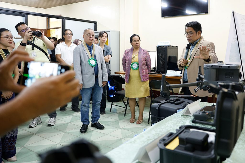
The center’s equipment includes a DJI Matrice 350 RTK quadcopter, DJI Zenmuse L2 LiDAR sensor, DJI Zenmuse P1 mapping camera, D-RTK 2 high-precision GNSS mobile station, DJI Terra Pro software, high-performance computers, and a plotter printer. The facility can produce detailed three-dimensional terrain data, digital elevation models, orthomosaic maps, terrain analyses, and flood and landslide hazard maps to support surveying, hydrologic modeling, and disaster risk reduction research.
Engr. Benito heads the center, with Engr. Jay M. Navaluna as assistant center head. Engr. Norman G. Anta serves as University Research Associate I, while Jennifer Dig Alivar is the administrative aide.
The facility will also support the USM Geo-Precision Mapping and LiDAR Survey Services, an income-generating project offering drone-based photogrammetry, LiDAR surveying, and geospatial analysis. CEIT plans to expand the center’s research to other types of geohazards.